


Academics
At the University of Rhode Island, our faculty and programs challenge you to expand your vision of what’s possible.


Admission
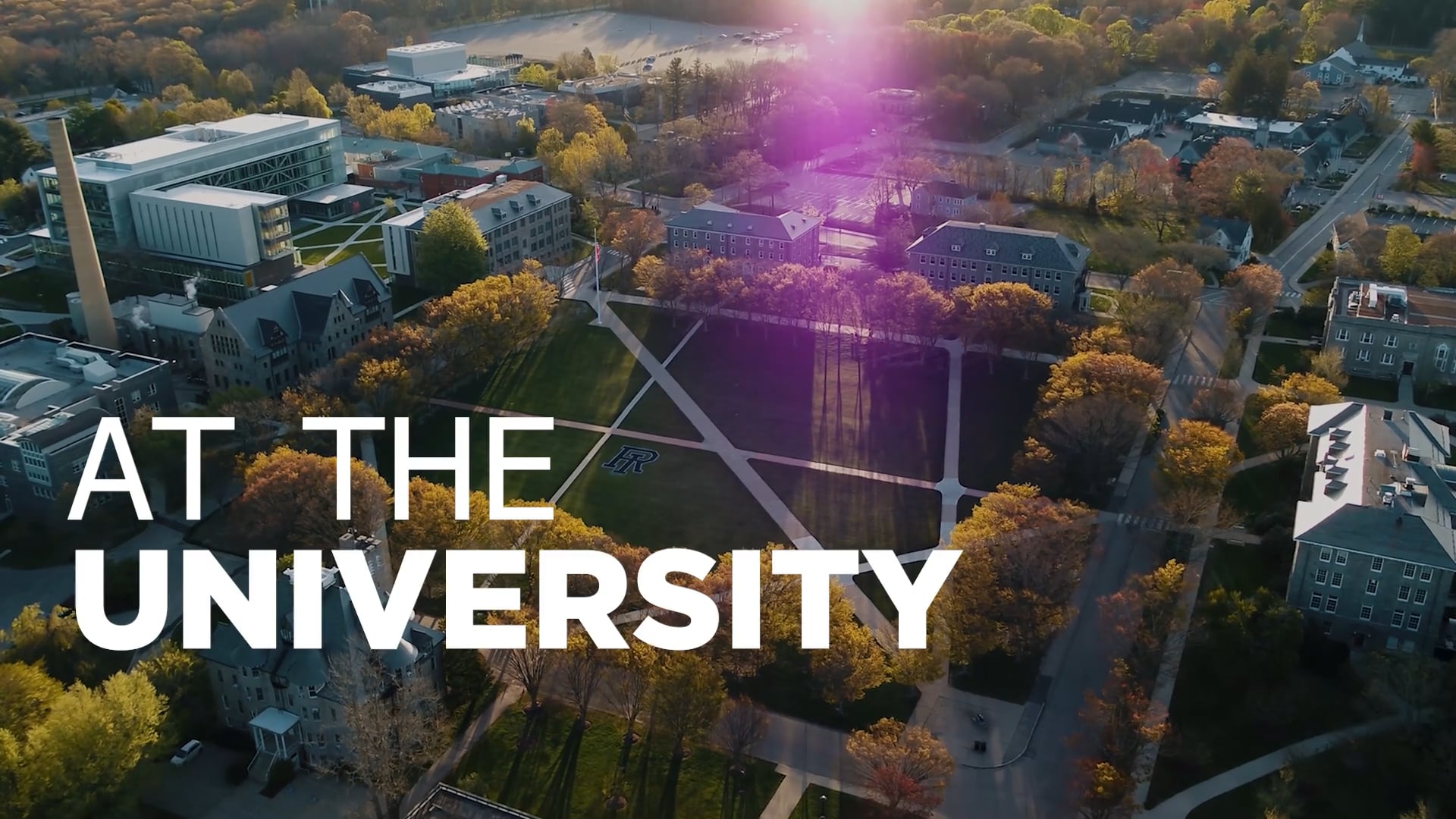
The University of Rhode Island offers you a welcoming community, a beautiful campus near the ocean, and countless options for creating the future of your dreams.